Using This Document
Click/hover over the dates at top.
After refreshing the page, all content appears below (scroll down).
Online Supplemental Figures:
The Fifth International Workshop on Ice Nucleation Phase 3 (FIN-03):
Field Intercomparison of Ice Nucleation Measurements
Mirrielees, JA,1 SS Petters,2,a DJ Cziczo,3,b PJ DeMott,4
MD Petters,2 HG Bingemer,5 TCJ Hill,4 K Froyd,6,7
S Garimella,3,c AG Hallar,9,d EJT Levin,4,e I McCubbin,7
AE Perring,7,8 J Schrod,5 T Schiebel,4,10 KJ Suski,4,f
D Weber,5 MJ Wolfe,3 M Zawadowicz,3,g J Zenker,1,h
SD Brooks1,*
1Texas A&M University, Department of Atmospheric Sciences, College Station, TX, USA
2North Carolina State University, Department of Marine, Earth and Atmospheric Sciences, Raleigh, NC, USA
3Massachusetts Institute of Technology, Department of Earth, Atmospheric and Planetary Sciences, Cambridge, MA, USA
4Colorado State University, Department of Atmospheric Science, Fort Collins, CO, USA
5Goethe University Frankfurt, Institute for Atmospheric and Environmental Sciences, 60438 Frankfurt am Main, Germany
6NOAA Earth System Research Laboratory, Boulder, CO, USA
7CIRES, University of Colorado, Boulder, CO, USA
8Colgate University, Department of Chemistry, Hamilton, NY, USA
9Storm Peak Laboratory, Division of Atmospheric Science, Desert Research Institute, Reno, NV, USA
10Karlruhe Institute of Technology (KIT), Institute of Meteorology and Climate Research (IMK-AAF), Eggenstein-Leopoldshafen, Germany
anow at: University of North Carolina, Department of Environmental Sciences and Engineering, Chapel Hill, NC, USA
bnow at: Purdue University, Department of Earth, Atmospheric, and Planetary Sciences, West Lafayette, IN, USA
cnow at: ACME AtronOmatic, LLC, Portland, OR, USA
dnow at: University of Utah, Department of Atmospheric Sciences, Salt Lake City, UT, USA
enow at: Handix Scientific, Boulder CO, USA
fnow at: JUUL Labs, San Francisco, CA, USA
gnow at: Pacific Northwest National Laboratory, Richland, WA, USA
hnow at: Trinity Consulting, Inc., Albuquerque, NM, USA
*Correspondence: Sarah D. Brooks (sbrooks@tamu.edu)
The main text is in preparation for publication.
Introduction
This supplement contains meteorological and photographical information from the FIN-03 field campaign.
Menu
The menu at top lists campaign days by date in 2015.
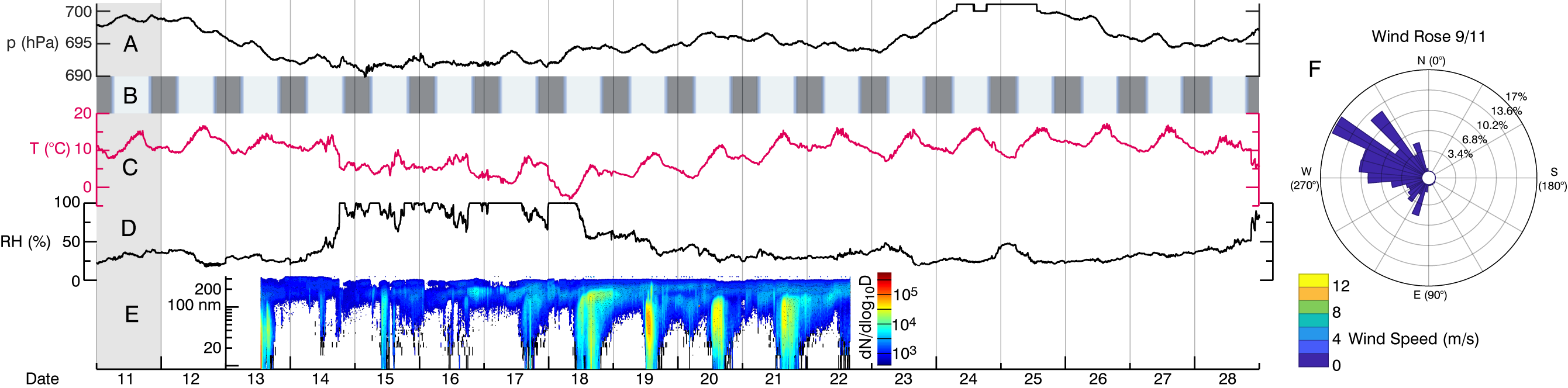
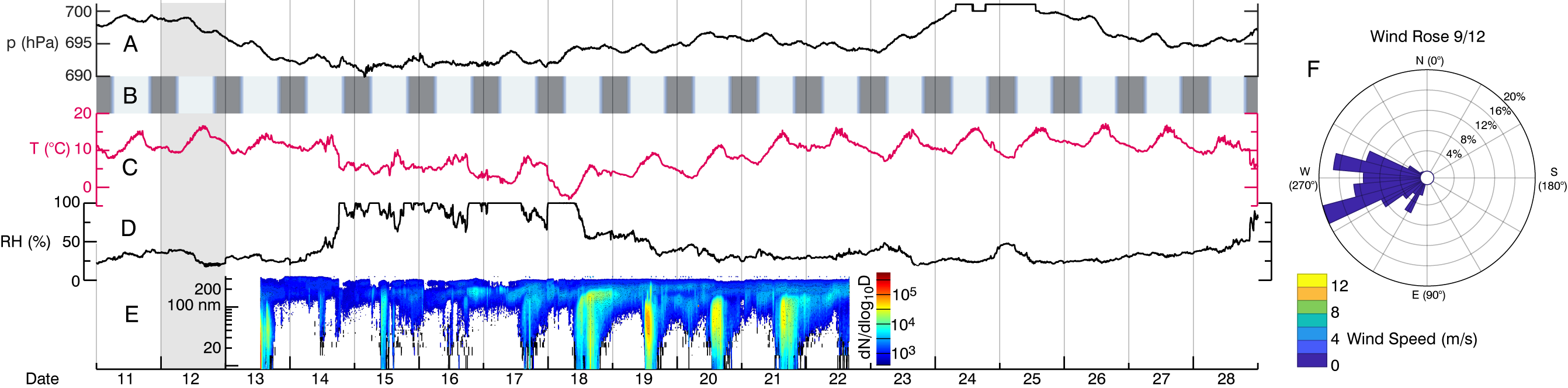
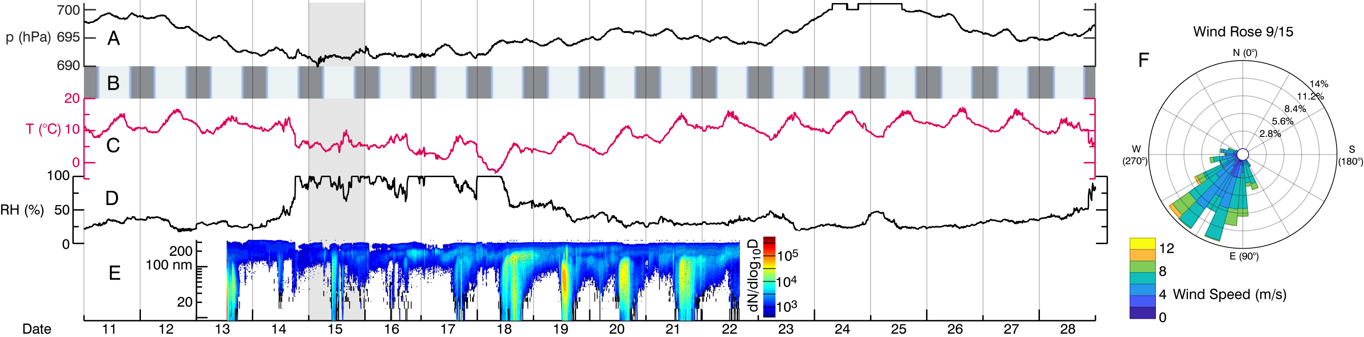
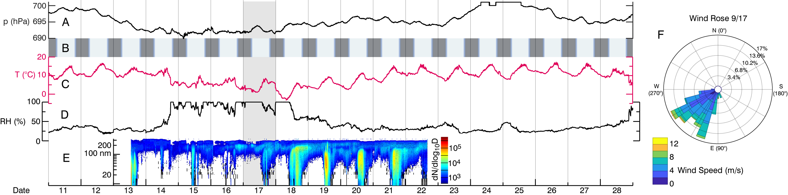
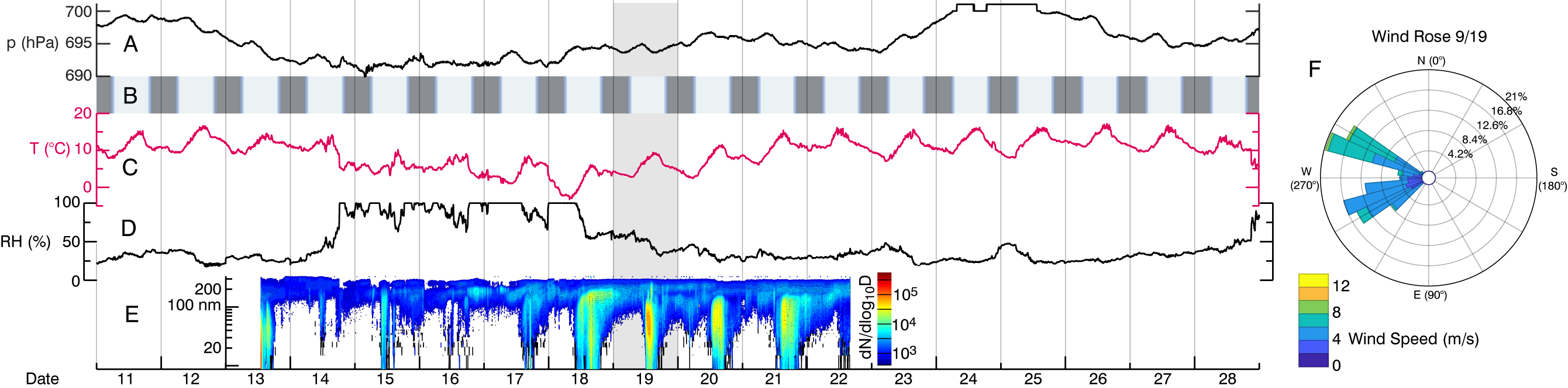
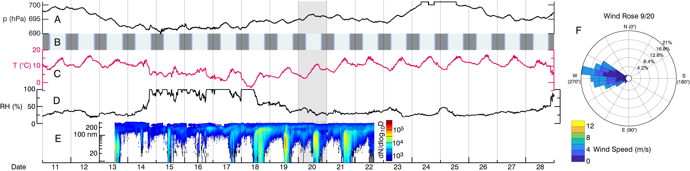
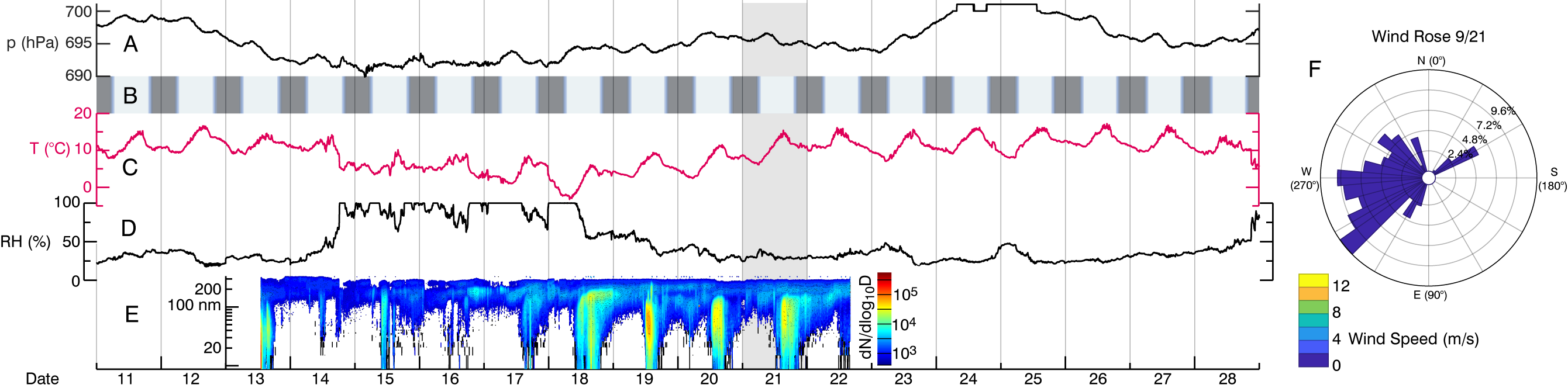
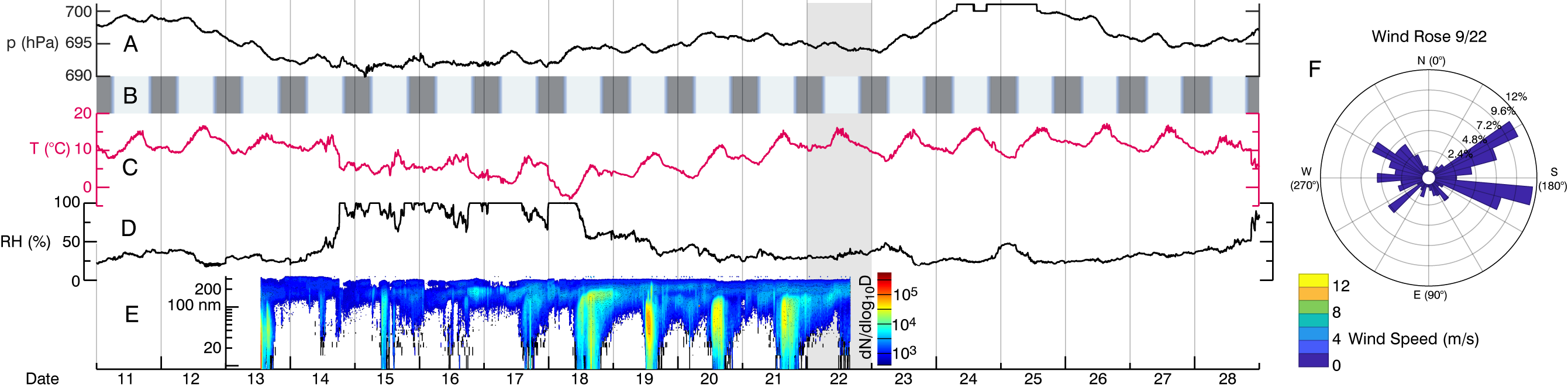
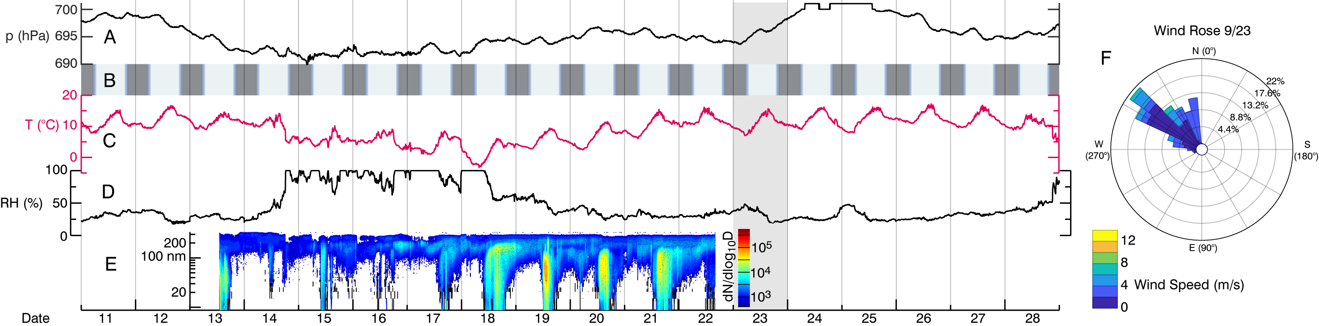
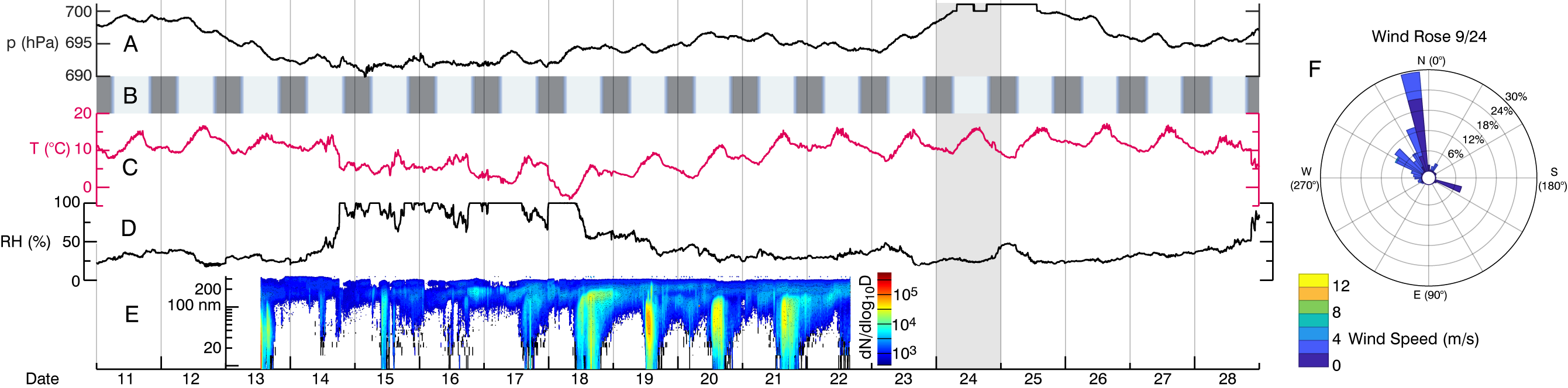
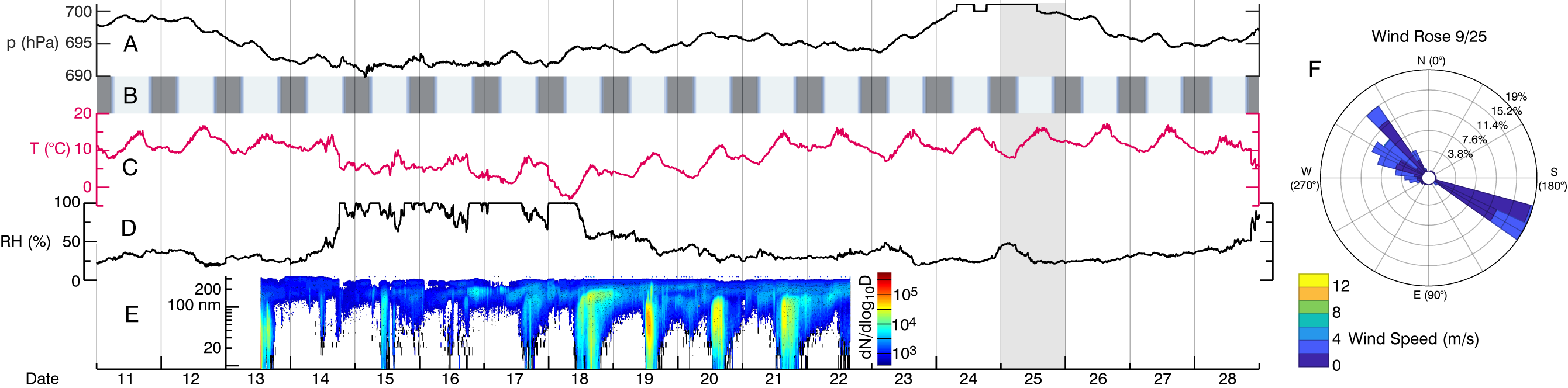
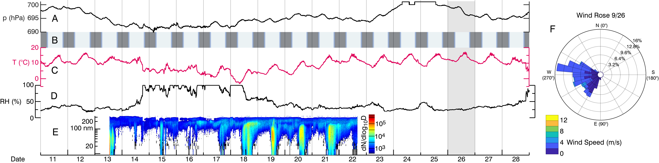
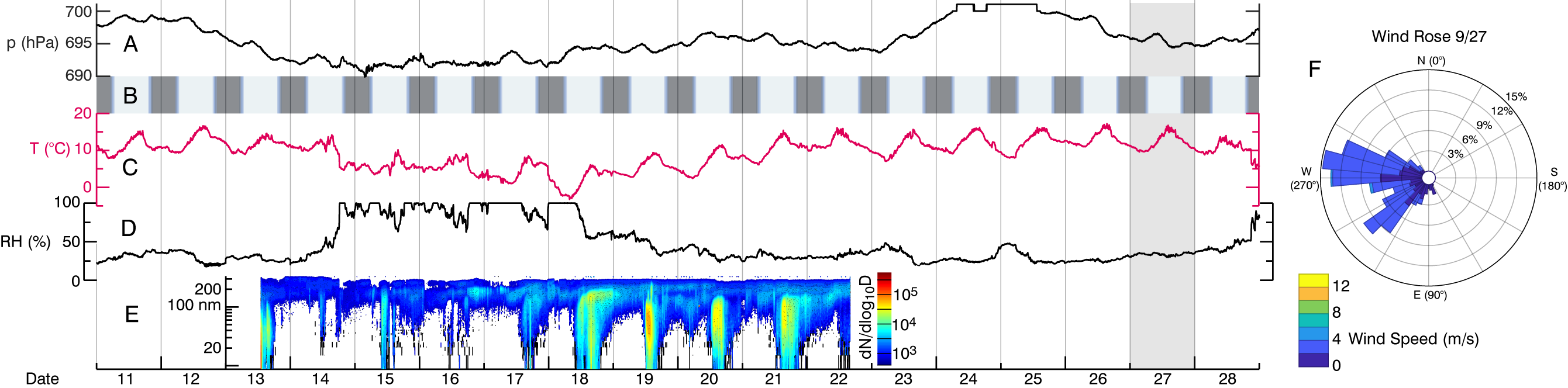
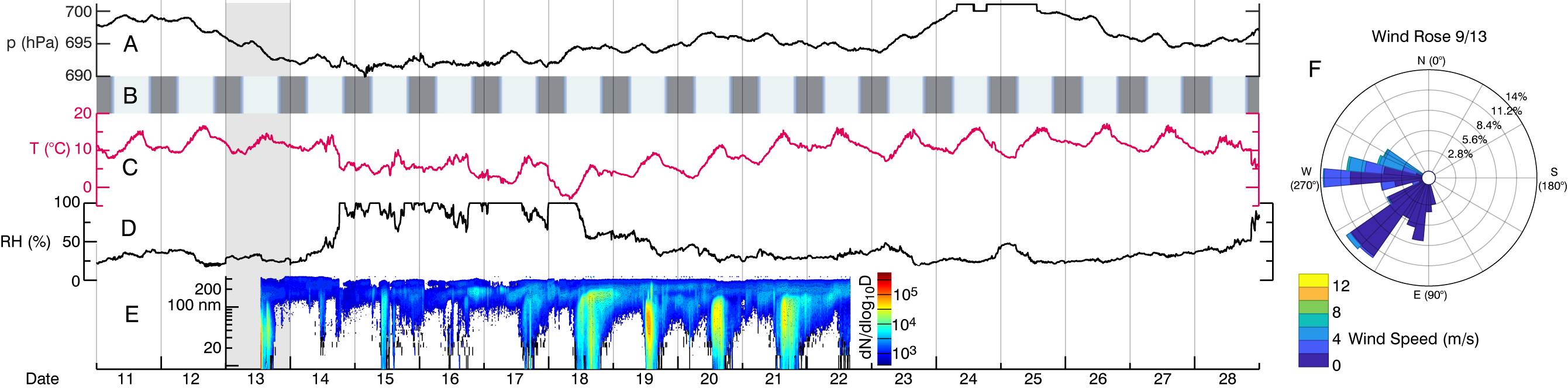
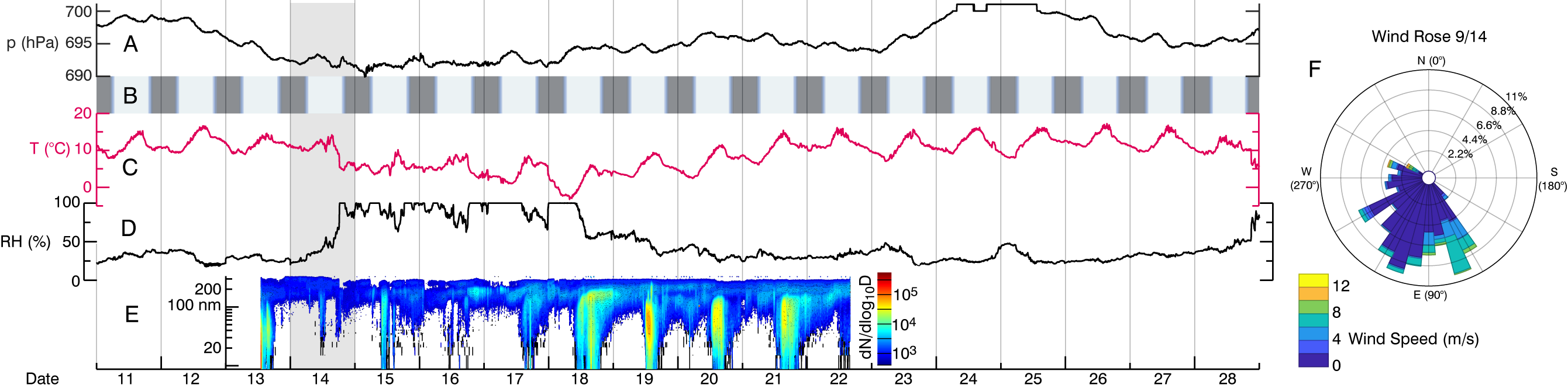
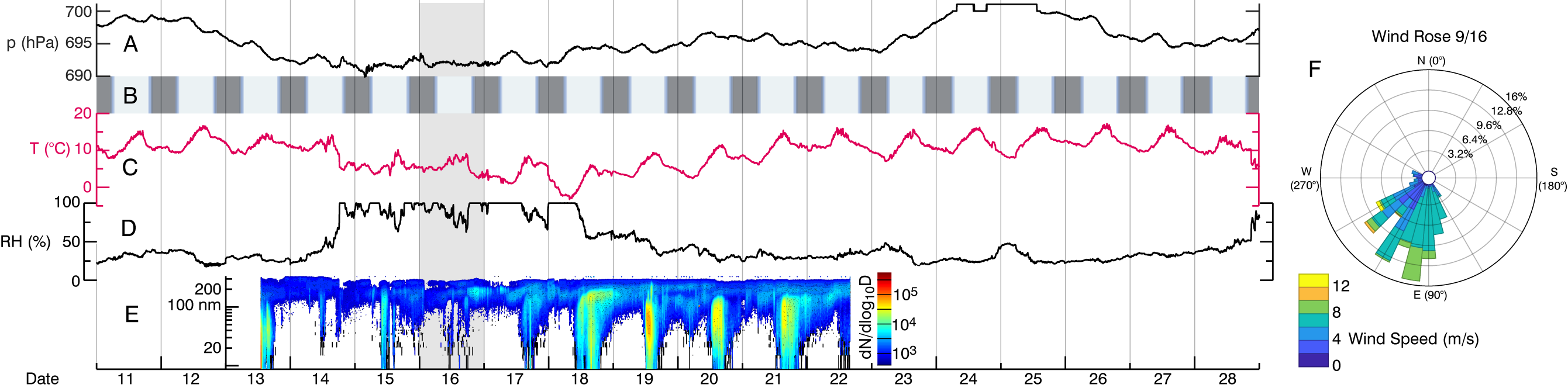
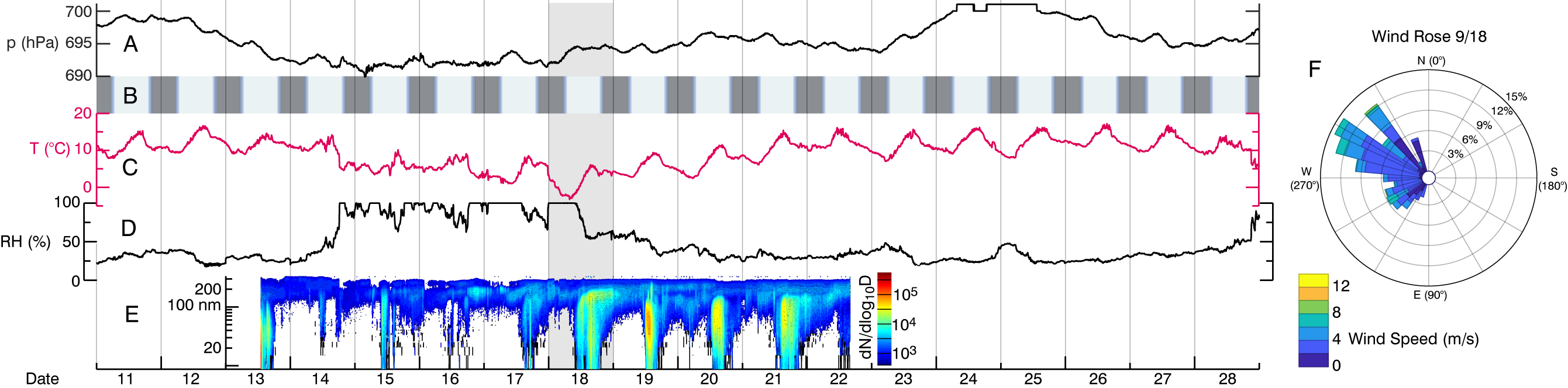
Timeseries Figure
The timeseries displayed at the top of each panel.
(A) Pressure at Storm Peak Lab (SPL), as provided through Western Regional Climate Center (WRCC)
(B) Daylight hours for Sept. 11 - 28 (2015) in Denver, CO, as provided timeanddate.com
(C) Temperature at SPL, as provided through WRCC
(D) Relative humidity (RH) at SPL, as provided through WRCC
(E) Particle size distribution at SPL, measured using a Scanning Mobility Particle Sizer (TSI 3080), as provided by SPL
(F) Wind rose showing wind speed and direction at SPL, as provided by WRCC, plotted using WindRose for MATLAB by Daniel Pereira (https://dpereira.asempyme.com/windrose/)
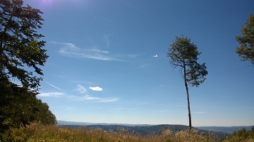
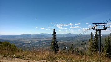
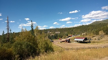
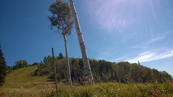
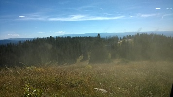
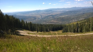
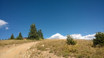
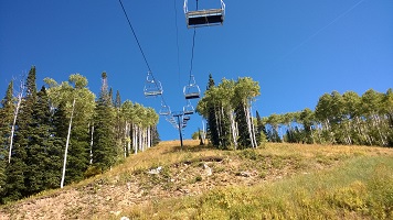
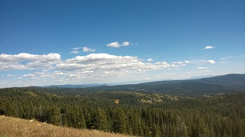
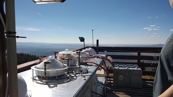
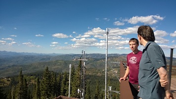
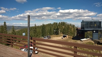
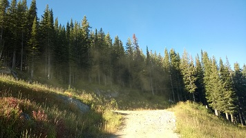
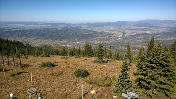
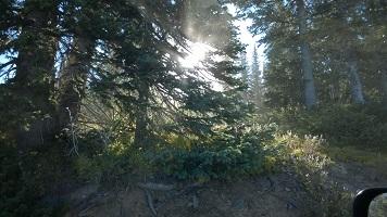
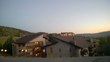
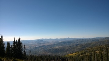
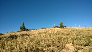
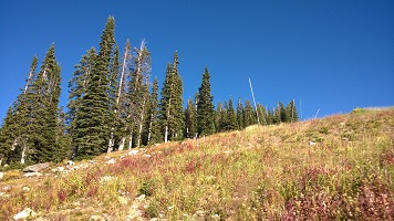
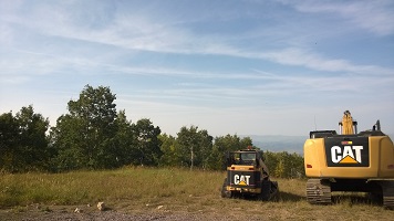
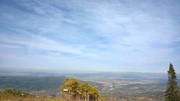
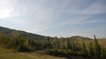
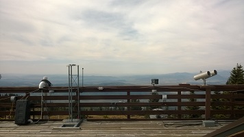
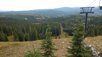
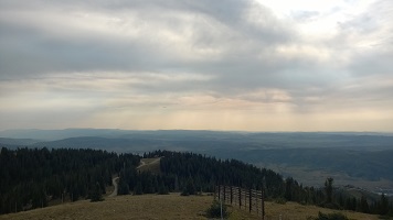
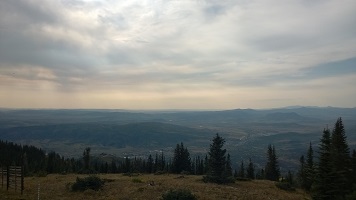
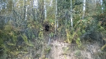
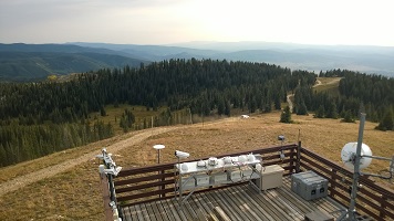
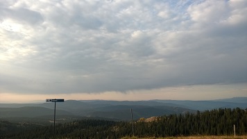
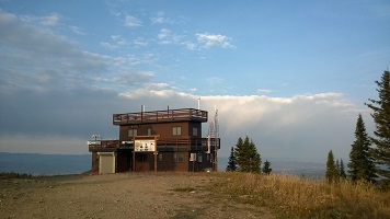
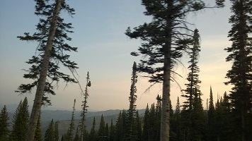
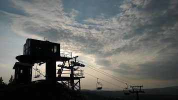
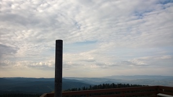
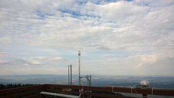
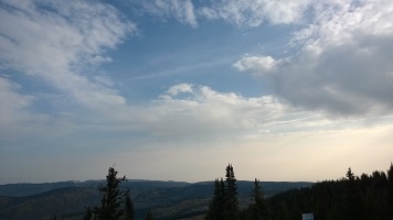
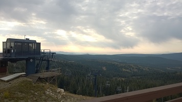
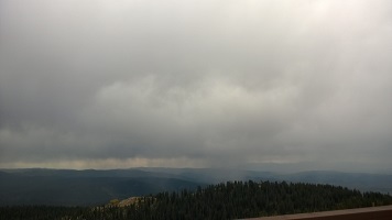
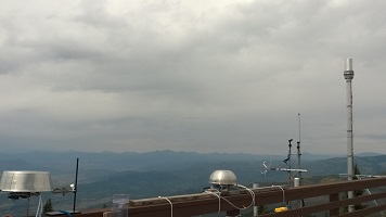
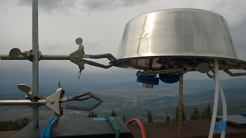
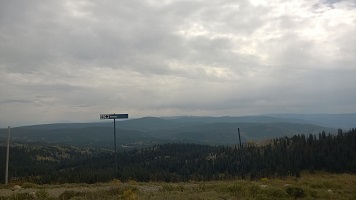
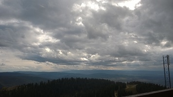
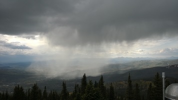
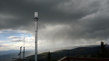
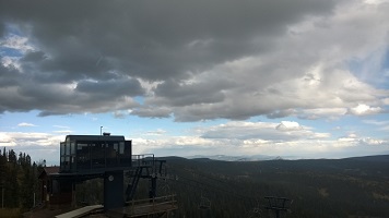
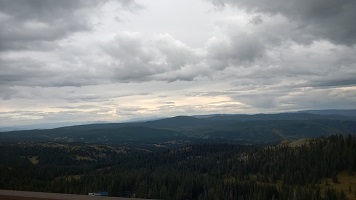
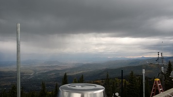
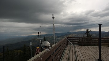
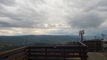
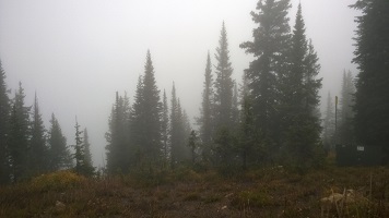
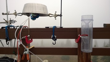
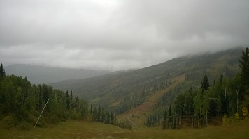
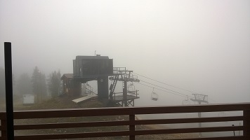
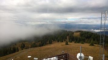
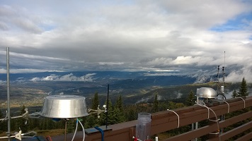
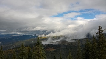
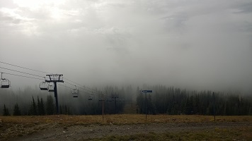
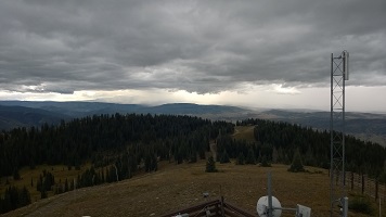
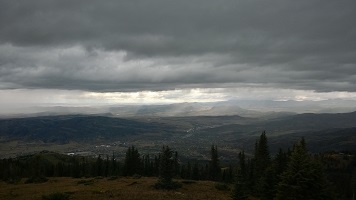
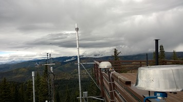
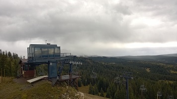
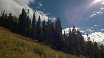
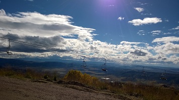
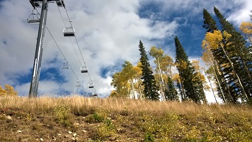
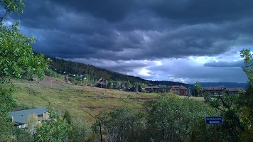
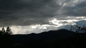
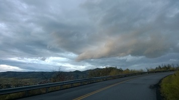
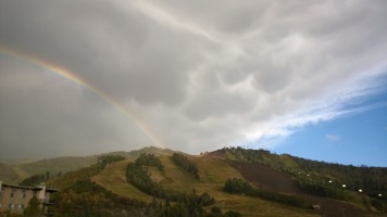
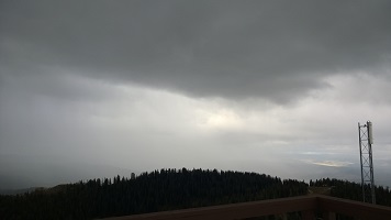
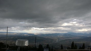
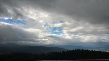
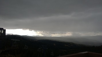
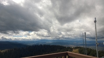
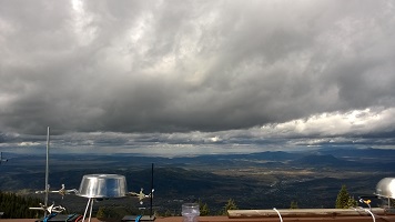
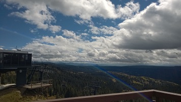
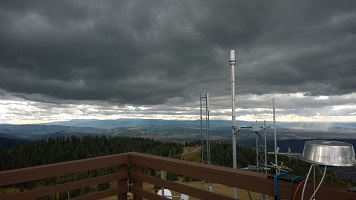
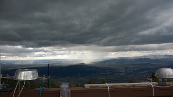
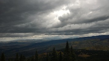
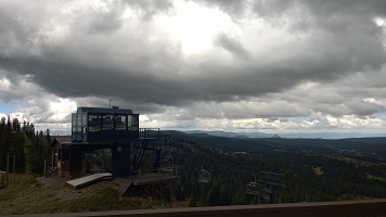
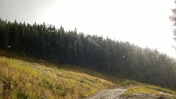
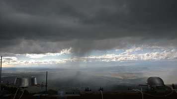
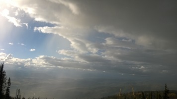
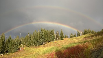
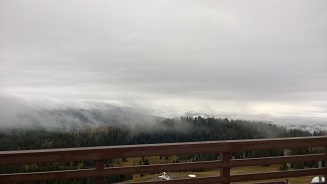
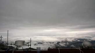
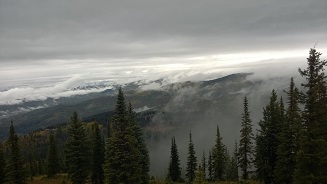
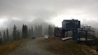
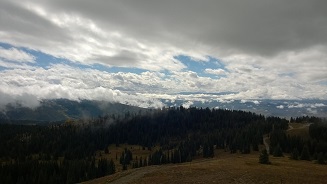
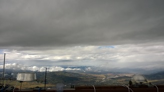
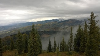
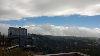
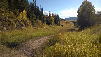
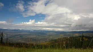
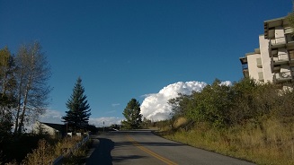
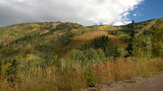
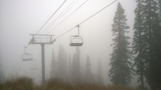
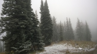
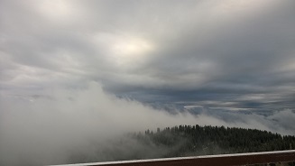
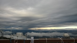
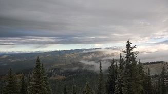
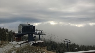
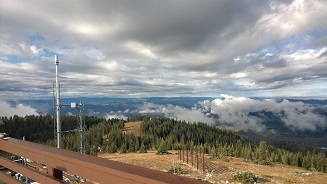
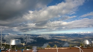
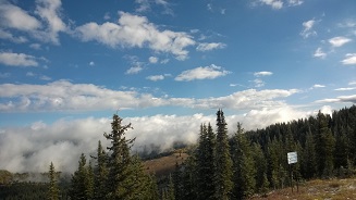
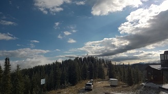
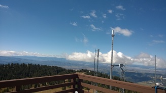
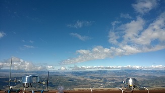
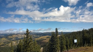
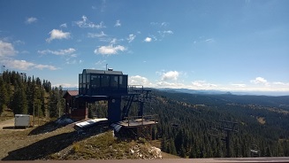
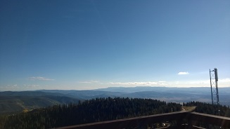
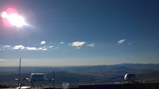
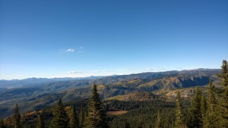
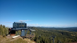
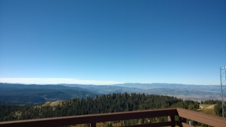
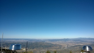
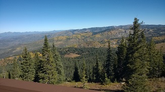
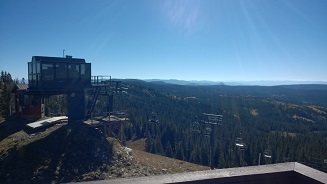
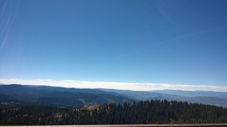
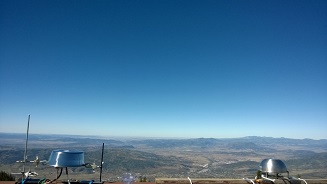
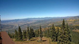
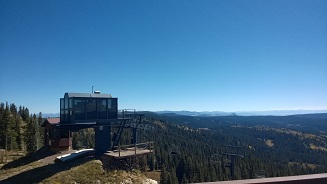
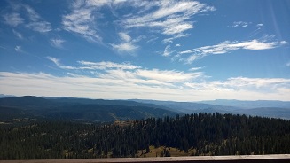
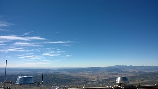
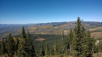
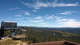
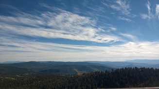
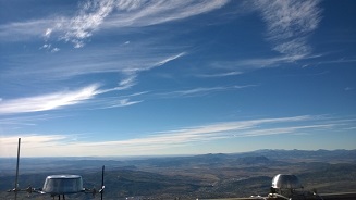
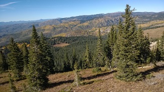
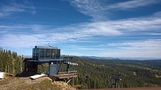
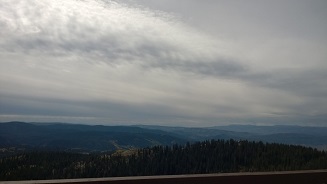
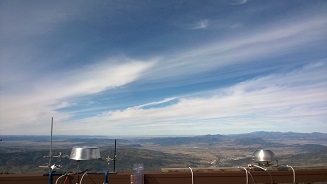
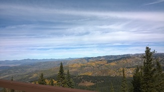
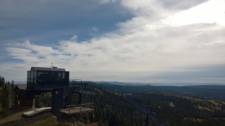
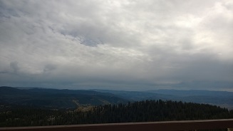
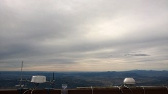
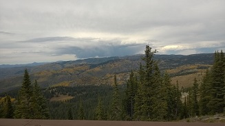
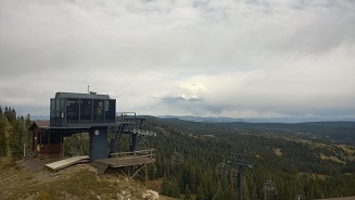
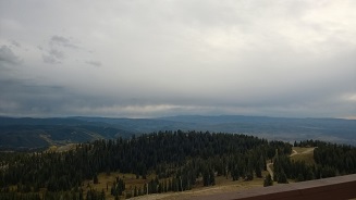
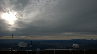
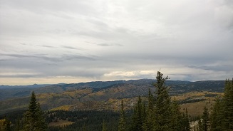
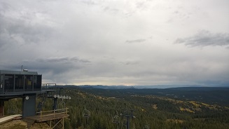
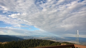
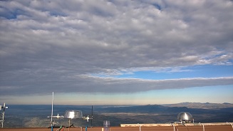
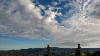
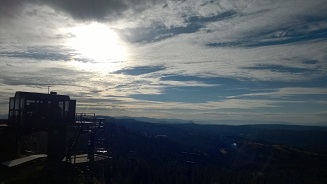
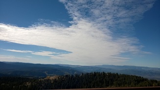
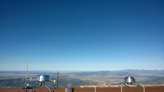
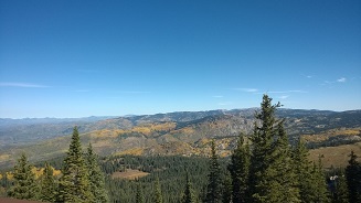
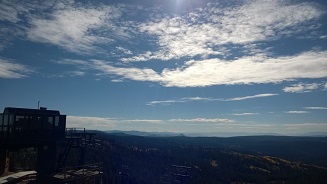
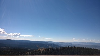
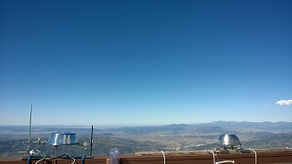
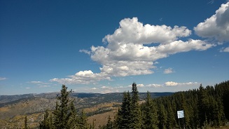
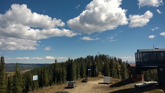
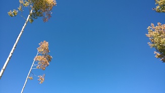
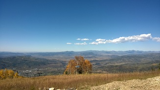
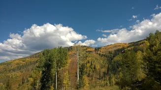
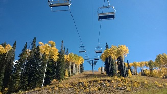
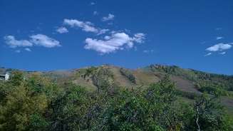
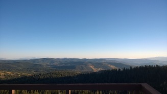
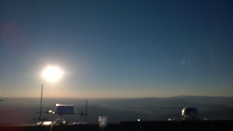
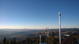
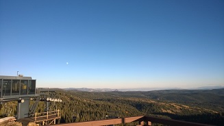
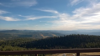
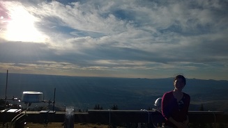
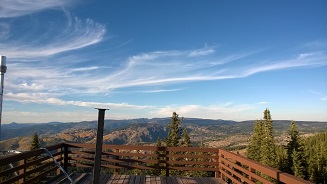
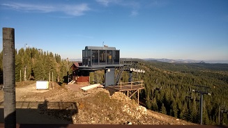
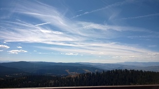
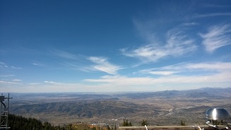
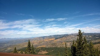
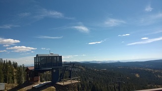
Photo Array
Photos were taken by Sarah Petters in September 2015 from the rooftop balcony of Storm Peak Laboratory
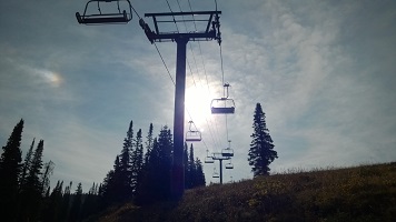
towards the South (road), West (valley), North (wilderness), and East (Skilift).
These are organized by time and depict morning, mid-day, and late afternoon conditions.
Hover over each photo for the time of day.
Bugs in this site
The display works differently for Windows, Mac, and mobile browsers and screen sizes. I am working on this.
3/26/2020 Site is live
3/29-4/1/2020 Click menu items or hover the mouse (Windows only)
9/15/2020 Menu now displayed across top
Sunday, Day 3
Clouds arriving. The road was again dusty in the morning (not pictured). Brown haze layer is present.
Stronger winds from West in the daytime (10 AM - 4 PM).
1 PM: Very hazy now, thicker cirrostratus
3 PM: Very breezy. 70-80% coverage with altostratus.
Monday, Day 4
Arrival of rain. Wind picked up after 6pm.
8-8:30 AM: Wind from direction of anvil cloud; transition to overcast; continued wind, clouds break up
8:45-9 AM: Vehicles arriving on dirt road
8:50 AM: Sun breaking behind Skilift, patches of broken stratocumulus
9 AM: Clear in valley, hazy
10:28,10:58 AM: Vehicles on dirt road
1:20-1:50 PM: Wind dies, first drops of rain; rain stops
5:02 PM: Rain (8 minutes)
5:30 PM: Meeting. For road dust, later arrivals will park lower on road
6:11 PM: Rain begins again, stays
Wednesday, Day 6
Rain intermittently.
8:44 AM: Rain approaching; wind coming from downpour to west
9 AM: Rain has begun and stopped
9 AM: Meeting: Bike race on dirt road over weekend; Free troposphere peaks at 6am; Starting this weekend there will be smoke from California on the West wind; Children will visit on Monday
1:06 PM: Raining again
3:18 PM: 1-mm hail, roundish, for a couple of minutes
3:25 PM: Small amount of rain
3:40 PM: Intercomparison cancelled; SPIN background issues
3:41 PM: Hail again, 5 minutes
4:40 PM: Rain has stopped in valley, patchy cumulus
5:05 PM: 2 minutes of hail
Friday, Day 8
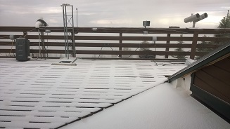
Early snow, clear later.
8 AM: Arrive in snow/graupel
8:20 AM: Snow depth 1/2 inch
8:26 AM: Fog arrives, visibility low
9 AM: Sun is out; power plant plumes clearly visible in valley
10:32 AM: Clear sky above high cloud, clumpy low cumulus (much lower than past couple days), generally clear above, sunny, RH 51%
11:38 AM: Sunny, scattered cumulus in valley. Upper level cumulus height above mountain is constant (to East)
1:00 PM: Vehicles departing
2:40 PM: Sunny, small amount of haze
3:25 PM: Vehicles
4:15 PM: Vehicle